Wind, depth and speed from your chartplotter on your iPhone. Which plotters stream over WiFi, which need a gateway, and how to bring in old tracks, brand by brand.
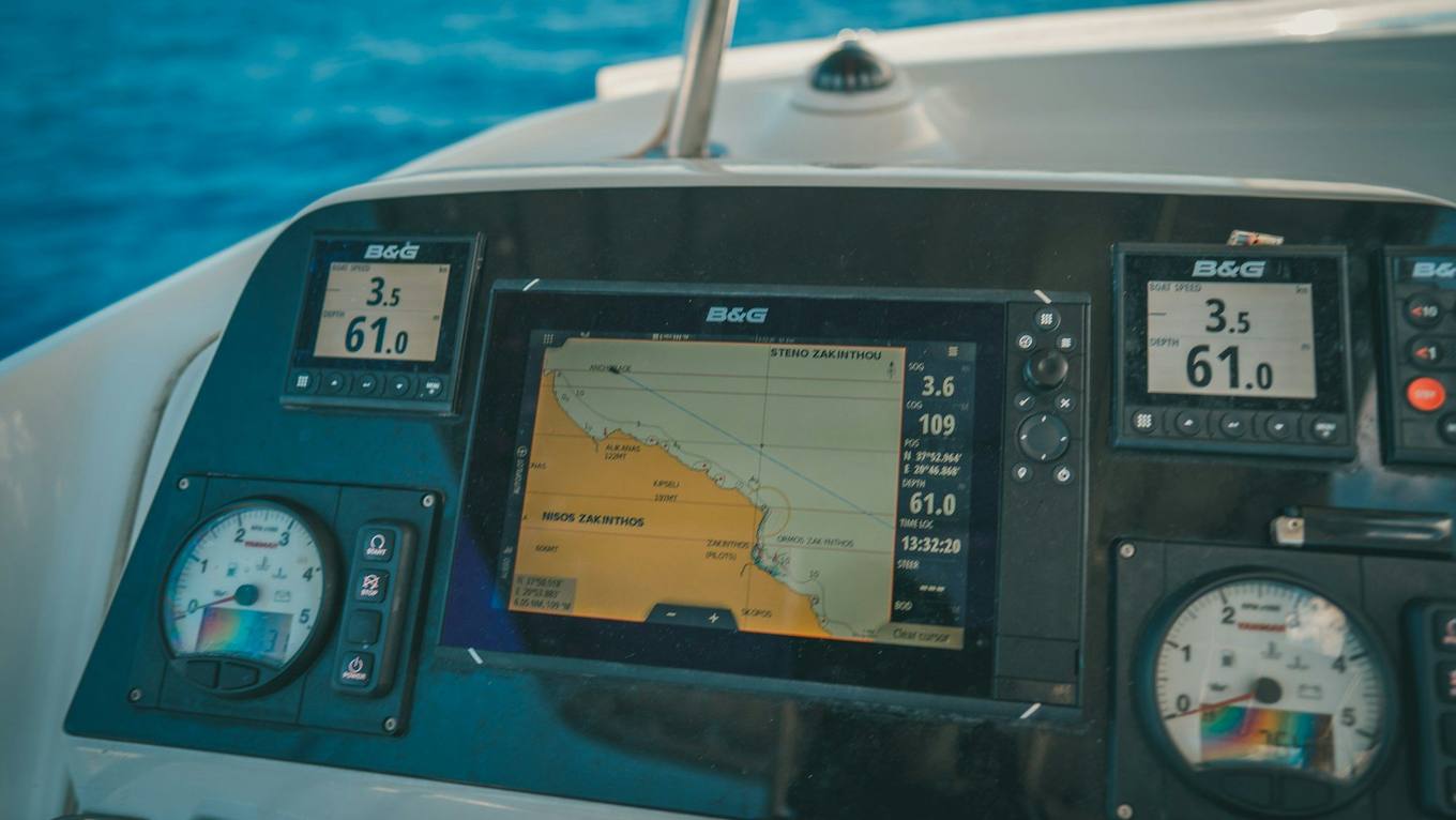
Photo: Raimond Klavins, Unsplash
There are two ways to get wind, depth and speed through the water from your chartplotter onto your iPhone. Many B&G, Simrad and Lowrance displays stream their data over WiFi themselves. Garmin, Raymarine and Furuno displays keep their WiFi for their own apps, so a small WiFi gateway on the boat's network does the job. Manta then reads the data and every log entry carries real wind, depth and speed.
Two routes
- The plotter streams. Its WiFi carries the data to your phone. Nothing to install.
- A WiFi gateway. It plugs into the NMEA 2000 or NMEA 0183 network and puts the data on the air, while your plotter stays untouched. See What is an NMEA WiFi gateway.
Not sure which network your boat has? Read NMEA 0183 vs NMEA 2000.

B&G
B&G, Simrad and Lowrance share the same wireless system. On the display, under Settings → Wireless, run its WiFi as an access point, or connect it to your phone's hotspot.
Vulcan, Zeus³, Zeus³S, Zeus S and Zeus² stream directly; the first-generation Zeus Touch needs the GoFree WIFI-1 module. Triton² and Triton Edge have no WiFi, so use a gateway.
Simrad
NSS evo2, evo3 and evo3S, GO XSE and NSO evo3 stream directly; NSO evo2 needs the GoFree WIFI-1 module. Cruise has no WiFi, so use a gateway.
Lowrance
HDS PRO, LIVE, Carbon and Gen3 and Elite FS, Ti² and Ti stream directly; HDS Gen2 Touch needs the GoFree WIFI-1 module. Hook² and Hook Reveal have no WiFi, so use a gateway.
Garmin
GPSMAP and ECHOMAP displays share their WiFi only with Garmin's own apps, so use a gateway. A Garmin Cortex M1 hub streams over WiFi and Manta finds it automatically.
Raymarine
Axiom and Element displays share their WiFi only with Raymarine's apps. A gateway on the NMEA 2000 network brings the data to Manta.
Furuno
NavNet TZtouch displays and the GP-1871F / 1971F serve Furuno's own apps only. A gateway is the reliable route.
Set it up in Manta
Join your iPhone to the plotter's or gateway's WiFi, then open Connect your plotter under Instruments in Manta's Settings. Manta searches the WiFi for your plotter or gateway on its own. The full model list is in Connect your plotter.
Tracks you've already sailed
Live data covers the trips ahead. For trips your plotter has already recorded, export them as GPX and import them into Manta:
More on files in Import and export.
Questions
Do I need internet on board for this?
No. The data travels over the boat's own WiFi. The whole logbook works far from any mobile signal; stories and sharing simply wait for the next harbour.
Is live instrument data free in Manta?
Yes. Connecting and recording your instruments is free, on every trip, and you see them live on screen. Manta Pro adds the charts, the polar and the smart entries built from them. Your first three trips with instruments, each longer than one nautical mile, keep their charts, performance data and automatic entries for good.
My plotter isn't listed. Will it work?
If its manual mentions NMEA 0183 or NMEA 2000 over WiFi, TCP or UDP, it works. Otherwise a small WiFi gateway does the job.
Can I bring in tracks from past seasons?
Yes. Export them from the plotter as GPX and open the file with Manta. The guided import splits long recordings into trips and skips the ones you already have.
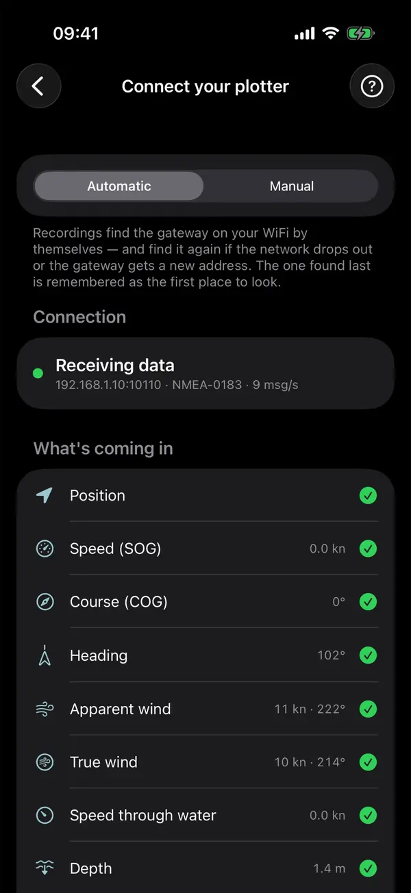
Manta does this for you
Plotter data on your iPhone over WiFi
Connect your plotter or a WiFi gateway, and Manta shows your instruments live and records wind, depth and speed through the water on every trip.