How to save tracks from a Raymarine Axiom or Element chartplotter to a memory card as GPX and open them on your iPhone.
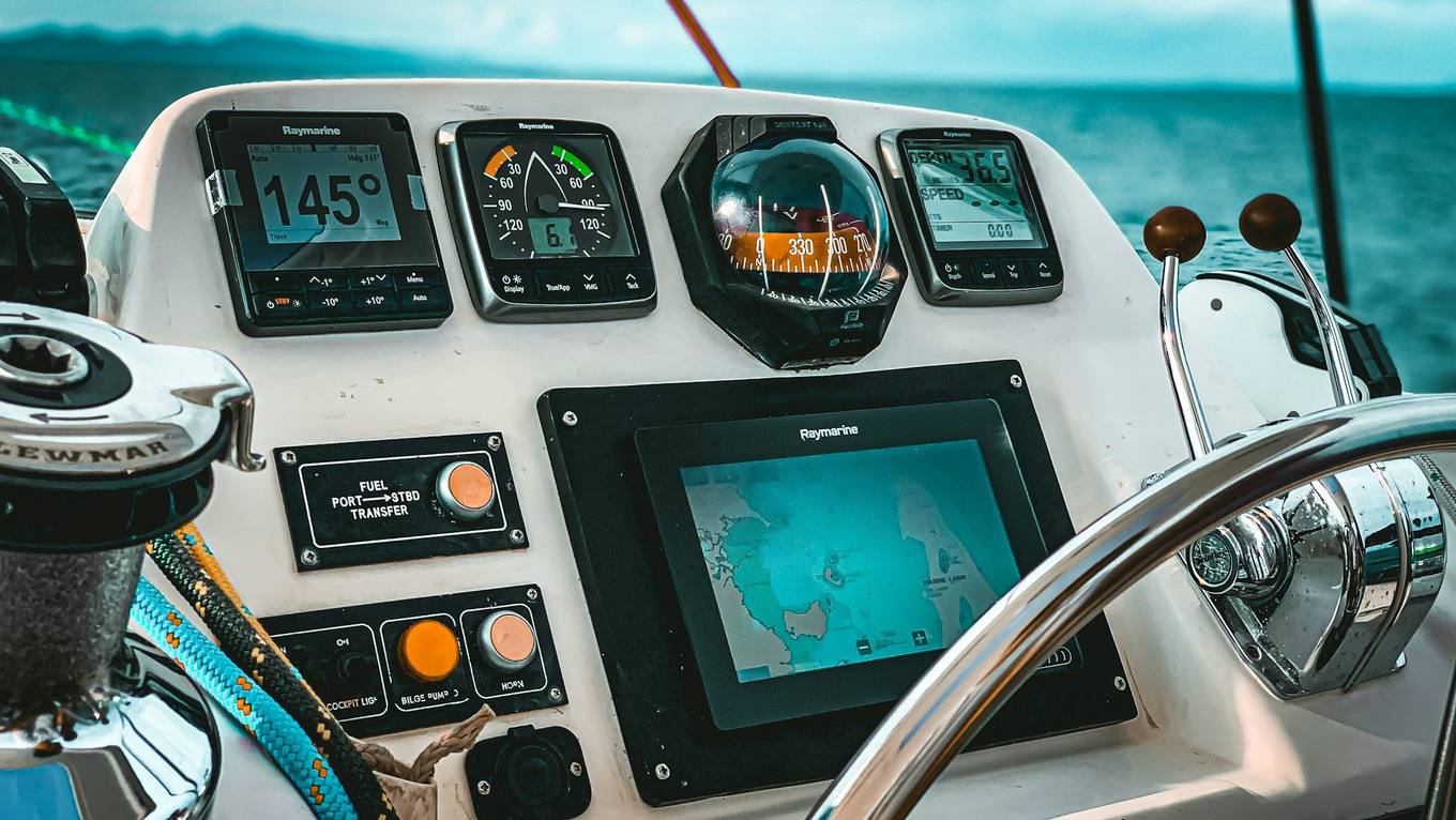
Photo: Moheb Iskander, Unsplash
Raymarine Axiom and Element displays record where your boat has been as tracks. You can save them to a memory card as a GPX file (the open format other apps, plotters and mapping tools read) and from there bring them onto your iPhone.
Before you start
- A microSD card with free space, formatted FAT32
- Track recording switched on, otherwise the plotter has nothing to save
- A way to get the file onto your phone: an SD card reader for the iPhone, or a computer
Save the tracks as GPX
- Insert the card into the display's card slot.
- From the home screen, open your stored data, on many models called My data.
- Look for import and export, usually Import/export, and choose to save data to the card.
- Select the tracks you want, and pick GPX as the format if the display asks.
- Confirm and wait until the display has finished writing.
Menu names differ by model and software version. Element displays, for example, may not match Axiom exactly. If you can't find an entry, look for Export or Save to card, or check the manual for your display.
Get the file onto your iPhone
- SD card reader: plug it into the iPhone and open the card in the Files app.
- Computer: copy the GPX file from the card, then AirDrop or mail it to your phone.
Open it in Manta
Tap the GPX file in Files (or in Mail) and choose Manta. The guided import splits a long recording into trips, leaves out the hours in harbour, skips trips you already have and asks which boat sailed them. Each trip then gets its map, replay and statistics.
Live data over WiFi
Axiom and Element displays don't share their WiFi with other apps, but their data runs on the boat's network. Raymarine's SeaTalkng is based on NMEA 2000, so a WiFi gateway on it, with an adapter cable for Raymarine's plugs, brings the data to Manta Pro. Manta then records the trip, with wind, depth and speed through the water, while you sail. See Connect your plotter.
Questions
My Raymarine is older than Axiom. Can it export GPX?
Many older Raymarine displays can save data to a card too, but menus and formats differ. Check the manual for your model; if it offers GPX, Manta can import the file.
Can I get the track off my Axiom over WiFi?
Not into Manta. Axiom and Element displays share their WiFi only with Raymarine's own apps. For a file, use a memory card; for live data while you sail, use a WiFi gateway.
Should I export tracks or routes?
Tracks. A track is where your boat actually went. A route is a plan, a line of waypoints you intend to follow, and says nothing about the trip you sailed.
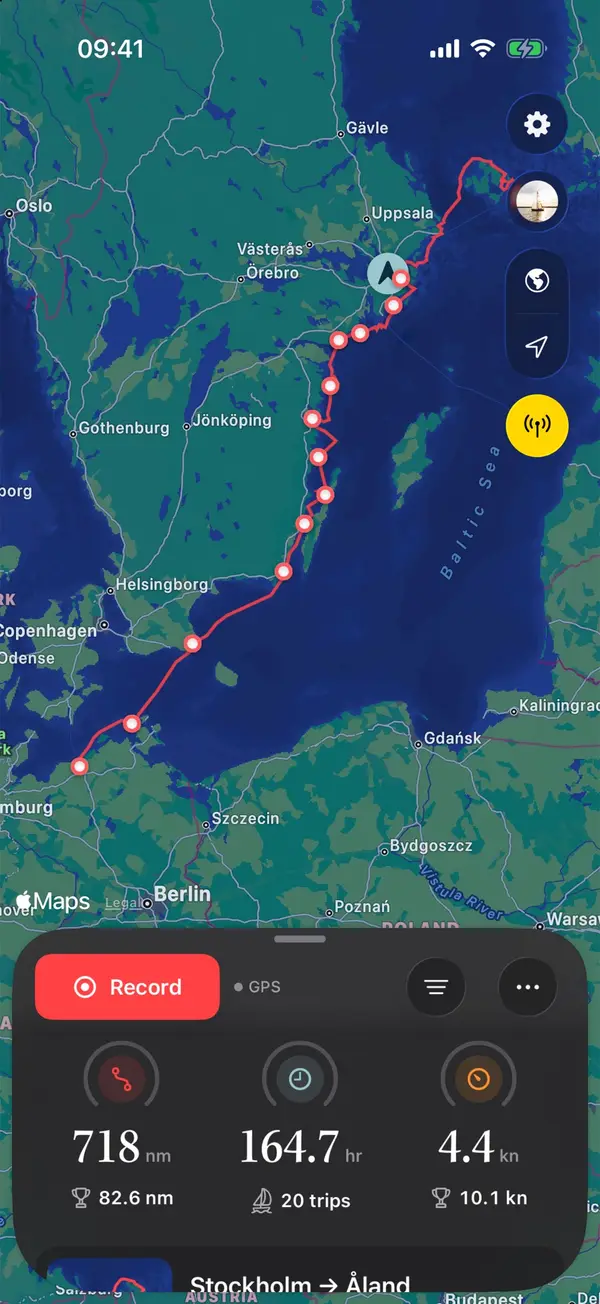
Manta does this for you
Import and export GPX tracks
Bring in old tracks from your plotter or other apps; long recordings are split into trips. Export any trip as GPX.