The recorded path a boat actually sailed, a trail of timestamped positions.
A track is the path a boat has actually taken, recorded as a series of positions, each with a time. Drawn on the chart, it's the line behind the boat, sometimes called the breadcrumb trail. Where a route is the plan, the track is the record.
What a track contains
Every track point holds at least latitude, longitude and a timestamp. From consecutive points, speed over ground and course over ground follow directly. Richer recordings add depth, wind or boat speed to each point.
How often positions are stored matters: every few seconds gives a detailed line with every tack visible, but makes large files over a long passage. Many plotters therefore record by distance or time interval and thin out straight stretches.
What it's good for
- Logbook and proof. A track documents where and when you sailed, useful for sea miles, insurance questions and your own memory.
- Reviewing. Looking back at a track shows how a beat went, where the current set you or which way through a channel worked.
- Exchange. Tracks move between plotters and apps as GPX files.
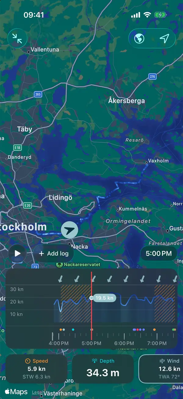
Manta records the track with your iPhone's GPS and can replay any trip along it, with wind, speed and depth as they were.
Manta does this for you
Replay your sailing trips
Watch any trip again like a film. The boat moves along the chart while wind, speed and depth play back as they were.