The open file format for exchanging waypoints, routes and tracks between GPS devices and apps.
GPX, the GPS Exchange Format, is an open, XML-based file format for GPS data. Almost every chartplotter, navigation app and mapping tool can read and write it, which makes it the common language for moving positions from one device to another.
Contents
A GPX file can hold three kinds of data:
- Waypoints (
wpt): single named positions; see waypoint. - Routes (
rte): ordered waypoints that make up a plan; see route. - Tracks (
trk): recorded paths, split into segments of track points; see track.
Each track point carries latitude and longitude in WGS 84, and usually a UTC time:
<trkpt lat="54.4189" lon="11.1923">
  <time>2026-07-14T09:14:05Z</time>
</trkpt>
The standard also allows elevation and a few other fields; anything beyond that, such as wind or depth, goes into extensions that each manufacturer defines differently. That's why GPX reliably carries positions and times, but rarely the rest of a trip.
On board
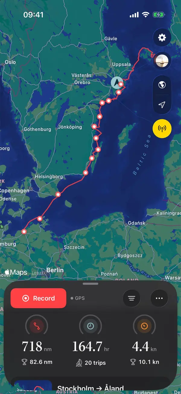
Plotters export their tracks as GPX, usually onto a memory card. See for example exporting GPX from a B&G Zeus. Manta imports GPX files and splits long recordings into trips, and exports any trip as GPX for other apps and plotters.
Manta does this for you
Import and export GPX tracks
Bring in old tracks from your plotter or other apps; long recordings are split into trips. Export any trip as GPX.