A navigation display that shows the boat's GPS position on an electronic chart, often the hub of all instruments on board.
A chartplotter is a marine display that shows the boat's position from GPS on an electronic chart. You see where you are, where you're heading and what lies around you (depths, buoys, hazards) in real time. Modern units are usually multifunction displays (MFDs) that combine the chart with radar, sonar, AIS, autopilot control and instrument data.
What it does
- Shows position, course over ground and speed over ground on the chart.
- Plans and follows routes of waypoints, with bearing, distance and cross-track error.
- Records a track of where you've been.
- Displays wind, depth and boat speed from the instruments, which it receives over NMEA 2000 or NMEA 0183.
Charts come on memory cards or are downloaded, as vector charts from various providers or as official electronic charts.
Plotters and phones
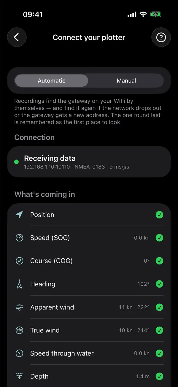
Many plotters have WiFi. Some share the boat's data with any app over WiFi, others only with the manufacturer's own apps. Which plotters stream to Manta directly, and how to set them up, is in connect your plotter; for the others, an NMEA gateway brings the data onto WiFi.
A plotter doesn't replace up-to-date paper charts or a lookout: electronic charts can be inaccurate, and electronics can fail.
Manta does this for you
Plotter data on your iPhone over WiFi
Connect your plotter or a WiFi gateway, and Manta shows your instruments live and records wind, depth and speed through the water on every trip.