How to record a digital logbook on a boat: phone GPS, GPS watch, plotter track, NMEA gateway or voice notes, with what each captures and what fails.
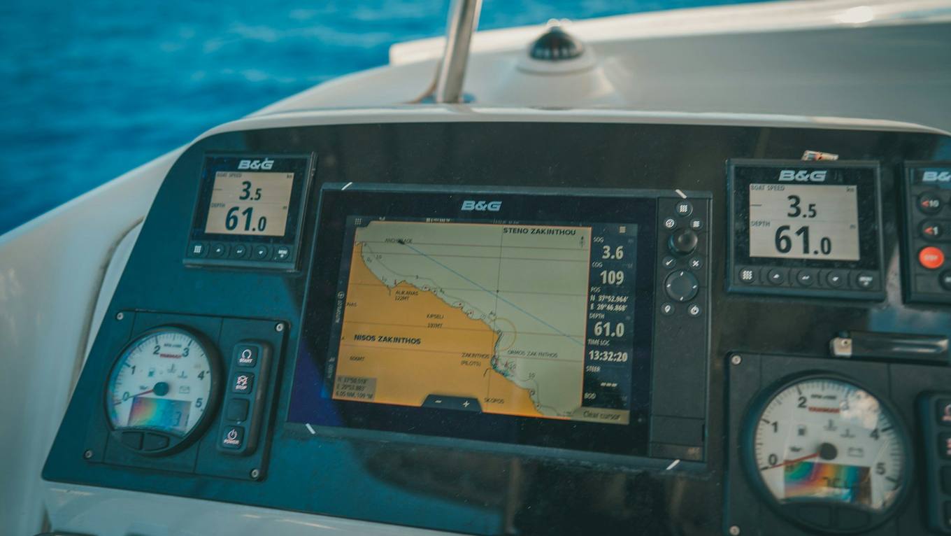
Photo: Raimond Klavins, Unsplash
You can record a digital logbook with a phone alone, or add a plotter or NMEA gateway to get instrument data as well. The choice comes down to what you want captured: a phone gives position, speed and time, while instruments add wind, depth and speed through water. This guide compares the hardware and data sources, and leaves which app to buy to our guide to choosing a logbook app.
Ways to record a digital logbook
| Method | Captures | Misses | Cost level | Effort |
|---|---|---|---|---|
| Phone GPS alone | Position, SOG, time, some motion | Wind, depth, speed through water | None if you own one | Low |
| Tablet with GPS | As a phone, larger screen | As a phone. Wi-Fi-only tablets may have no GPS at all | Low to moderate | Low |
| GPS watch | Position, speed, heart rate | Boat data, easy log entries | Moderate | Low |
| Plotter track with GPX export | Position, sometimes depth | Time-stamped events unless you add them | Already on board | Moderate, copy off after each trip |
| NMEA gateway to phone | Wind, depth, heading, speed through water, engine data if on the bus | Depends on the sensors you have | Moderate | Setup once, then low |
| Signal K server | All bus data, stored and served | Needs a small computer on board and some technical patience | Moderate | High |
| Spreadsheet | Whatever you type | The track, anything you skip | None | High |
| Voice notes | Quick detail while hands are busy | Structure, positions | None | Low, but transcribe later |
Most boats don't need more than the first row, and many will happily use the first plus a gateway. Signal K is included for completeness, and it suits people who enjoy running a small server on board.
What each data source adds
GPS gives you where you were, how fast you moved over the ground, and an accurate clock. It's the backbone of any track.
Instruments tell you what the boat was doing in the water. True and apparent wind, depth, speed through water, heading and heel can only come from sensors. In a tidal stream the difference between SOG and speed through water is the current, which GPS alone can't show. Instruments arrive either as NMEA 0183 or NMEA 2000; the differences are in NMEA 0183 vs 2000, and the gateway side in NMEA WiFi gateway.
AIS adds other vessels: who passed close, when and on what course. A log rarely needs all of it, but a record of a close-quarters encounter can be valuable afterwards.
Recording interval and file size
Interval affects smoothness more than storage. For a plain example, assume about 120 bytes for each GPX point:
| Interval | Points in a 12 hour day | File size per day | Good for |
|---|---|---|---|
| 1 second | 43,200 | about 5.2 MB | Racing analysis, close manoeuvres |
| 10 seconds | 4,320 | about 0.5 MB | Coastal cruising with tacks visible |
| 60 seconds | 720 | about 0.09 MB | Long passages, a clean line |
Storage is rarely the limit today. The limit is what you can usefully look at later and how many tacks you want visible. One minute between points turns a short tack into a straight line.
Phone placement and power
A phone is a consumer device on a wet, hot, moving platform. Treat it accordingly.
- Where to put it. On a mount near the companionway or under the sprayhood, out of direct sun, where it can see the sky. In a GRP boat a phone will often hold a position just inside a window. Deep in a chart table or behind an engine bulkhead it may not.
- Heat. Apple states that iPhones are meant to be used in ambient temperatures of 0 to 35°C. Above that, charging slows or stops, the screen dims, and an alert may ask you to let it cool. Black cockpit surfaces and a windscreen in sun exceed that easily.
- Cold. Below the range the battery may run down faster and the phone may shut off. Keep it in a pocket on a winter sail.
- Charging. Use a marine-grade USB socket with a short lead and a cable retention. A case that traps heat is a common reason a phone stops charging.
- Low Power Mode. It reduces background activity on an iPhone. Whether that affects your recording depends on the app, so do a test run before you depend on it.
Typical failures and what to do
| Failure | Cause | What to do |
|---|---|---|
| Track stops mid-trip | App closed by the system or user, or phone off | Check background permissions, set location to Always for that app, restart the recording |
| Long straight lines | Phone lost GPS below deck, or low sampling | Move the phone to a sky view |
| Phone too hot | Direct sun and charging at once | Shade it, unplug until it cools |
| Gateway connected, no data | Phone joined the wrong WiFi, wrong port, or wrong protocol | Check the network, confirm the protocol, see the gateway manual |
| Wind data looks wrong | Uncalibrated sensor or wrong offset | Calibrate at the instrument, not in the app |
| Missing entry times | Phone clock vs camera clock mismatch | Note the offset at the start of the trip |
If the phone has been hard to rely on, keep a pencil and a paper page for the position. That covers what the device can't.
Recommended setups
Level one, phone only. A phone on a mount, a USB charger and a logbook app. Good for most weekend and coastal sailors. You get track, speed, distance and time.
Level two, phone and gateway. Add an NMEA WiFi gateway on the instrument bus so wind, depth and speed through water reach the phone. Good for owners who want useful trip charts and performance data.
Level three, redundant passage setup. A phone and a tablet both recording, a gateway, a handheld GPS with spare batteries, a satellite messenger, and a paper log with a position every three hours. Good for offshore. For the routine, see logbook for long distance sailing.
Recording in Manta
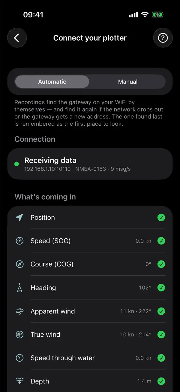
Manta records on your iPhone or iPad with GPS and motion sensors alone, in the background and offline, with no hardware to buy, and writes departures, arrivals, engine runs and anchoring into the log. To add instrument data, connect a plotter or WiFi gateway on NMEA 0183 or NMEA 2000, and wind, depth and speed through water go into the same trip. Apple Weather fills in hourly weather where instruments have none. Details of the plotter connection are on its feature page.
Questions
How do I record a digital logbook on a sailing boat?
The simplest way is a phone with a logbook app on a charger in the cockpit. Add a plotter or NMEA gateway if you want wind, depth and speed through water recorded too.
Will GPS work below deck?
Often, but less reliably. A GRP hull lets some signal through, a steel or carbon hull largely doesn't, and a phone deep in the cabin may lose position. Keep it near a window or the companionway.
How often should a track record a position?
Once every few seconds gives a smooth track and modest files. Once a minute is enough for a passage but loses tacks and close-quarters detail.
Does Low Power Mode affect GPS recording?
It can cut background activity, depending on the app and phone. Test a recording with Low Power Mode on before relying on it, and check the app's own advice.
Manta does this for you
Plotter data on your iPhone over WiFi
Connect your plotter or a WiFi gateway, and Manta shows your instruments live and records wind, depth and speed through the water on every trip.